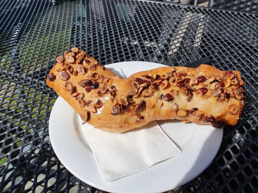
Cake & dessert
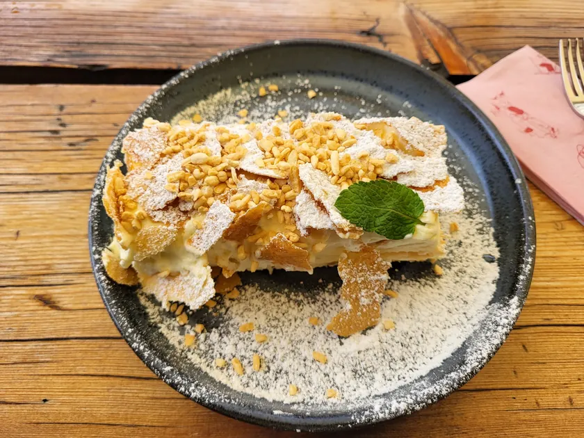
Nussgipfel deluxe
Hotel BelalpVenue website
On the hike: Belalp – Hängebrücke – Riederalp · Valais
Four-thousanders, historic irrigation channels and Switzerland's sunniest high trails.
Popular spots for hikers
Famous for
The Matterhorn and 45 four-thousanders – nowhere else in Switzerland has more high alpine terrain.
Historic water channels
Unique gentle high trails follow the historic irrigation channels (Suonen).
Good to know
With around 300 days of sunshine a year, Valais is Switzerland's sunniest hiking region.
Dialect
Valais German – a dialect with its own dictionary and many linguistic pockets.
Audio sample: Brig
Recording: Dialektatlas
The most-liked shots from our community in Valais - taken right on the trail.
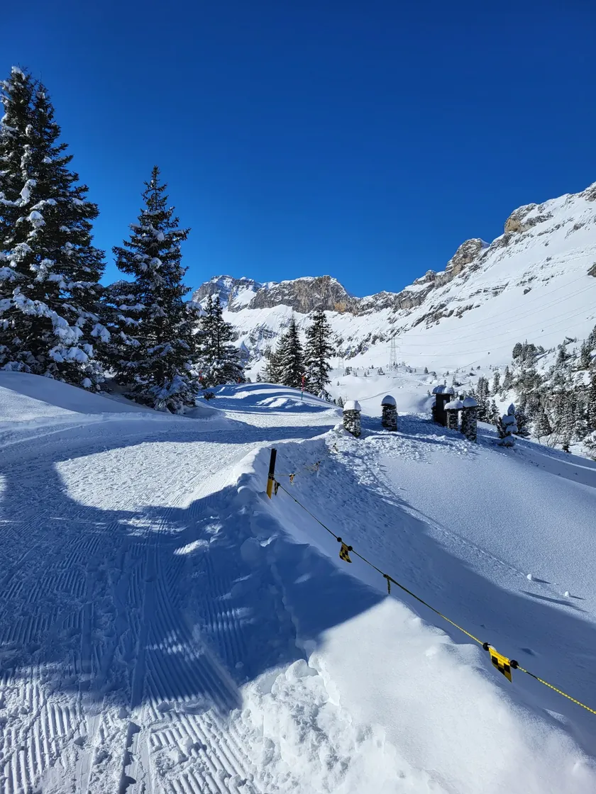 Mountain trail5.0(3)
From the Canton of Bern over the legendary Gemmipass into the Valais
 Mountain trail5.0(3)
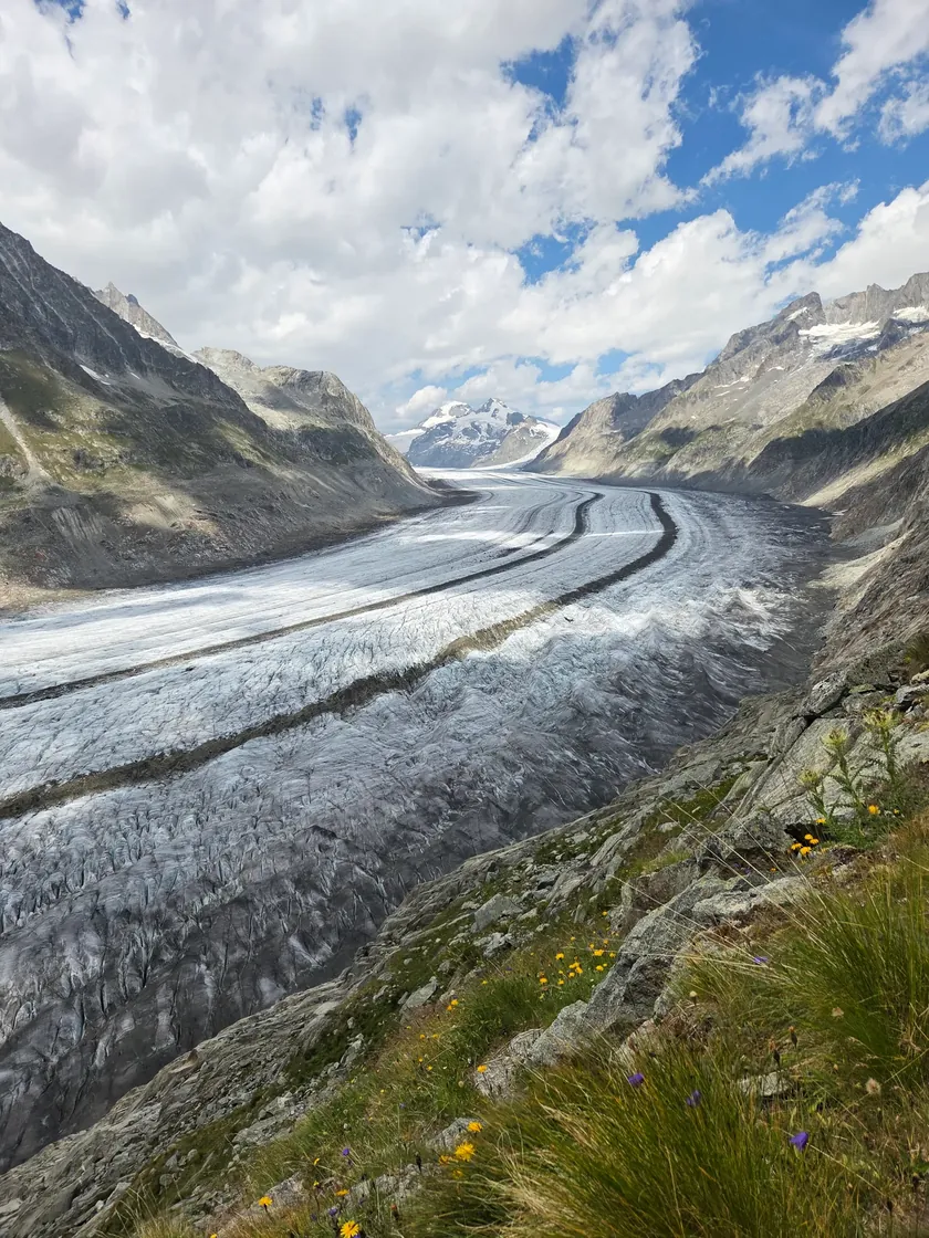
Along the ridge of the Grosse Aletschgletscher
 Mountain trail5.0(2)
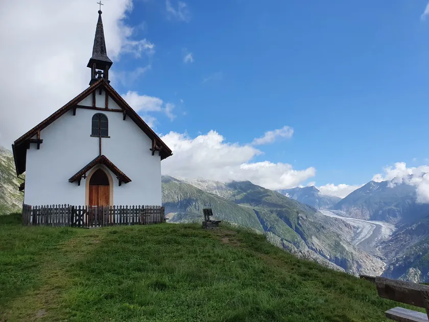
From Belalp via the suspension bridge to Riederalp
 Mountain trail5.0(2)
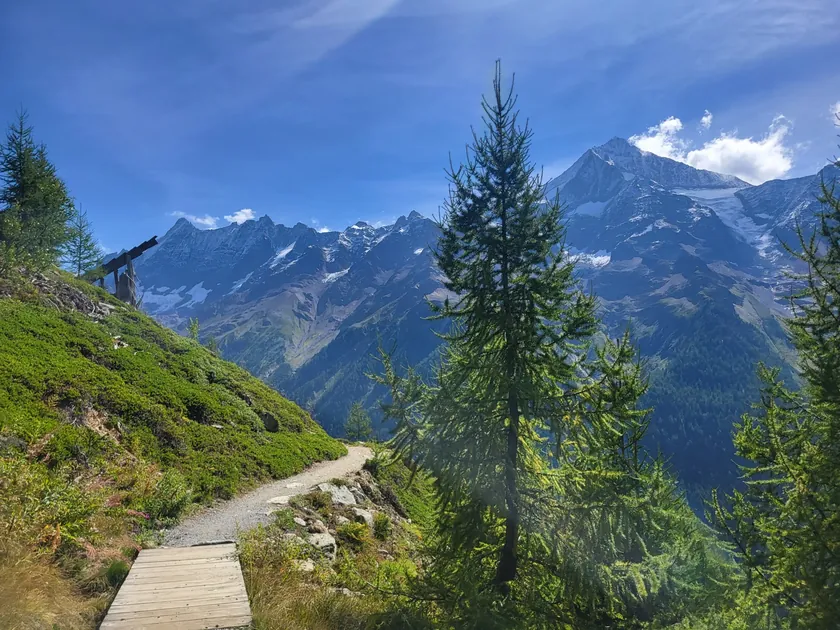
From Lauchernalp along the high trail to Fafleralp
 Alpine trail5.0(2)
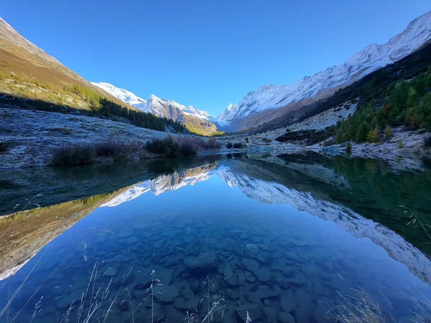
Circular hike from Fafleralp to Anenhütte
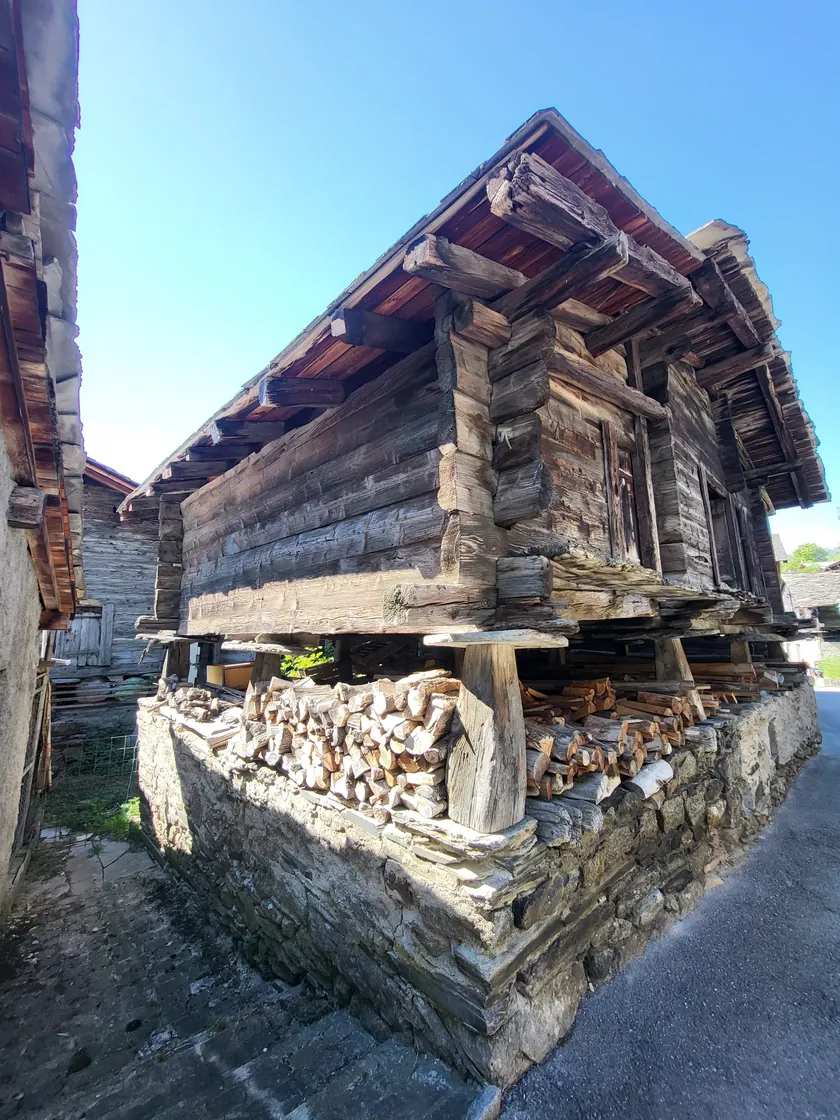 Mountain trail5.0(2)
From Ausserberg to Hohtenn along the Lötschberg-Südrampe
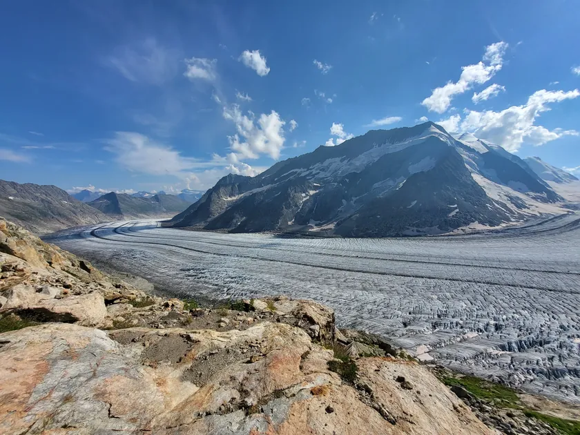 Mountain trail5.0(1)
From Fiescheralp over the Aletschgletscher to the Konkordiahütte
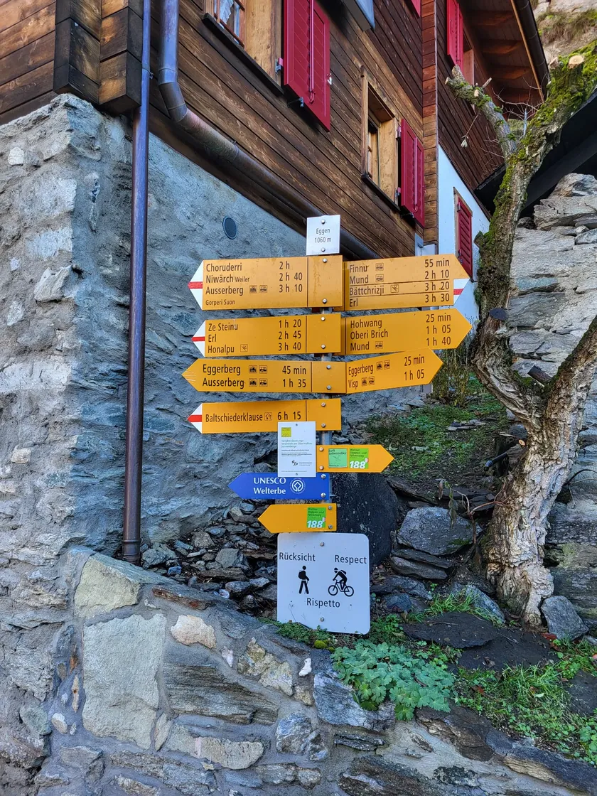 Mountain trail5.0(1)
Eggerberg - Birgisch
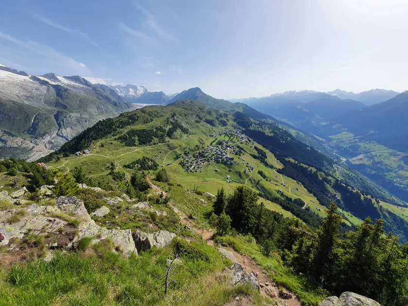 Mountain trail5.0(1)
Riederalp - Riederhorn - Riederalp
The best inns and specialities our community has discovered in Valais.
Cake & dessert
Hotel BelalpVenue website
On the hike: Belalp – Hängebrücke – Riederalp · Valais
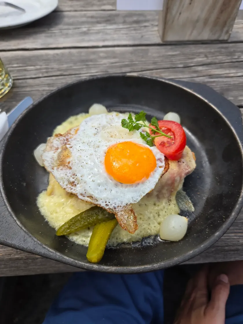
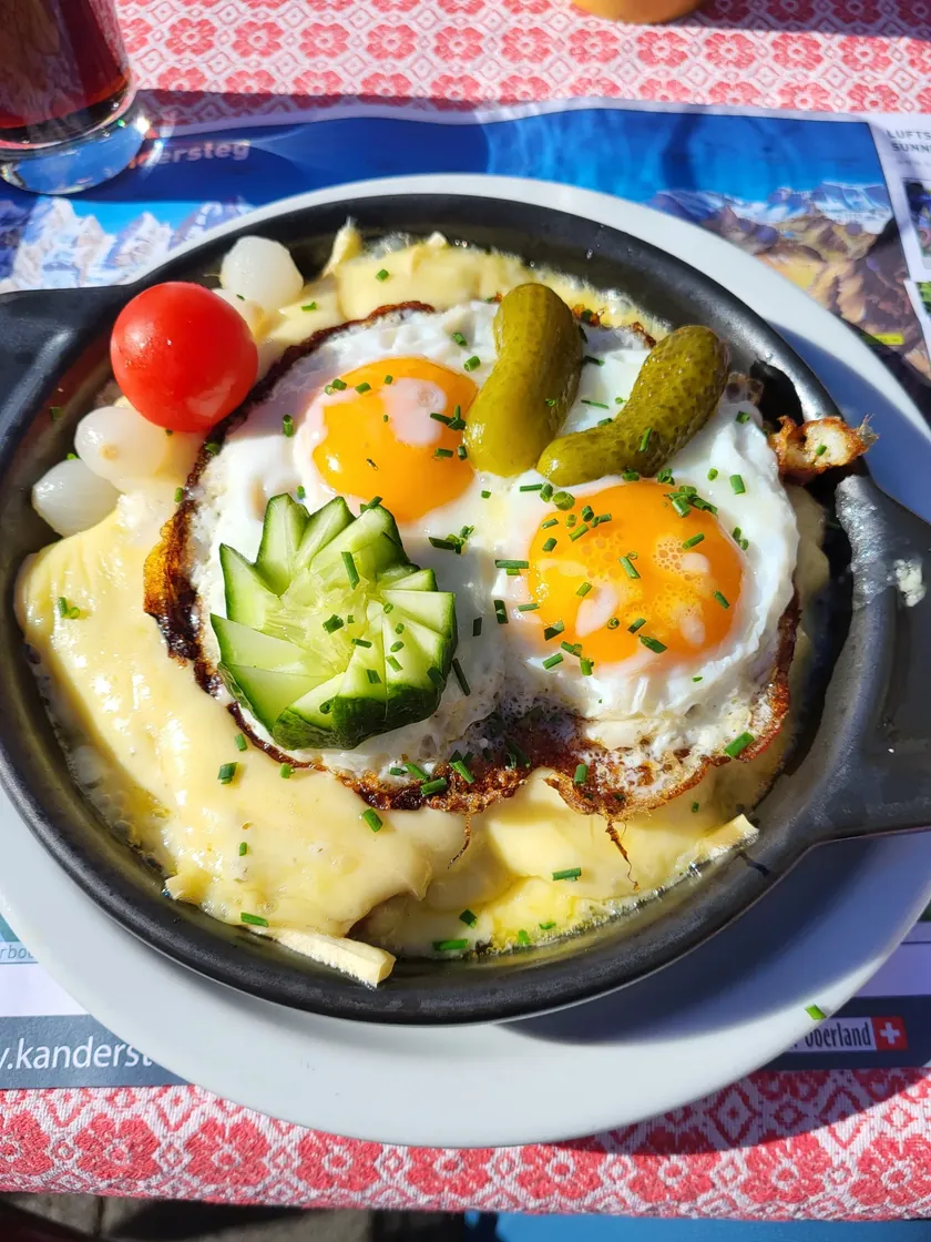
Cheese toast
Gletscherstube MärjelenVenue website
On the hike: Hohfluh (Riederalp) nach Fiescheralp via Gletscherstube · Valais