Cake & dessert
Restaurant Landhaus
On the hike: Merligen - Beatenbucht - Sundlauenen - Manor Farm · Bernese Oberland
Find your next hike – from an easy lakeside path to an alpine summit tour. Let the community inspire you, discover special places and treats along the trail, and collect your own adventures in your personal logbook.
Your base camp
What are you in the mood for today? Tap a theme and discover matching hikes.
The latest routes from the community.
 Alpine trail
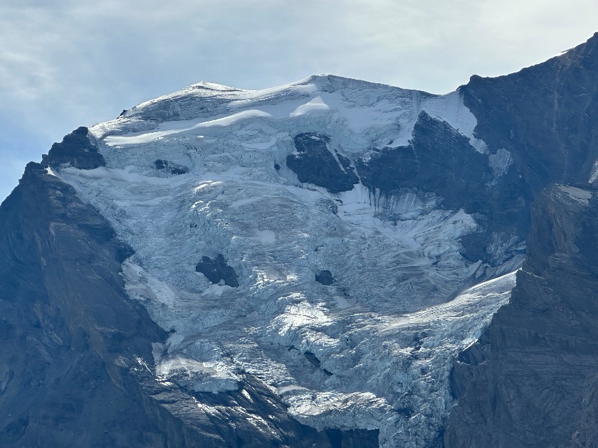
Via Felsenpfad-Fisialp-Fisischafberg-Jegertosse-Kandersteg
 Mountain trail
After arriving at the hut, continue ascending to the viewpoint with a bench
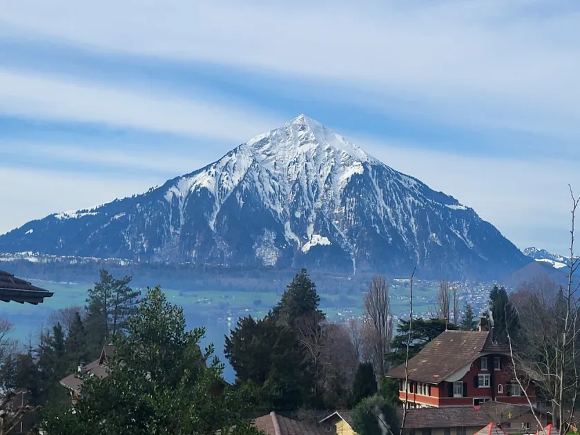 Hiking trail4.0(1)
From Merligen along Lake Thun to Camping Manor Farm
The best hikers' inns: cheese crust, rösti and more – found by the community.
Cake & dessert
Restaurant Landhaus
On the hike: Merligen - Beatenbucht - Sundlauenen - Manor Farm · Bernese Oberland
Drink
Panoramarestaurant MaschgenkammVenue website
On the hike: Tannenboden zum Maschgenkamm · Eastern Switzerland
Sausage & meat
Panoramarestaurant MaschgenkammVenue website
On the hike: Tannenboden zum Maschgenkamm · Eastern Switzerland
Drink
Alpwirtschaft Vorder Höhi
On the hike: Von Arvenbühl über den Gulme zur Alpwirtschaft Vorder Höhi · Eastern Switzerland
Hikes especially recommended by the community.
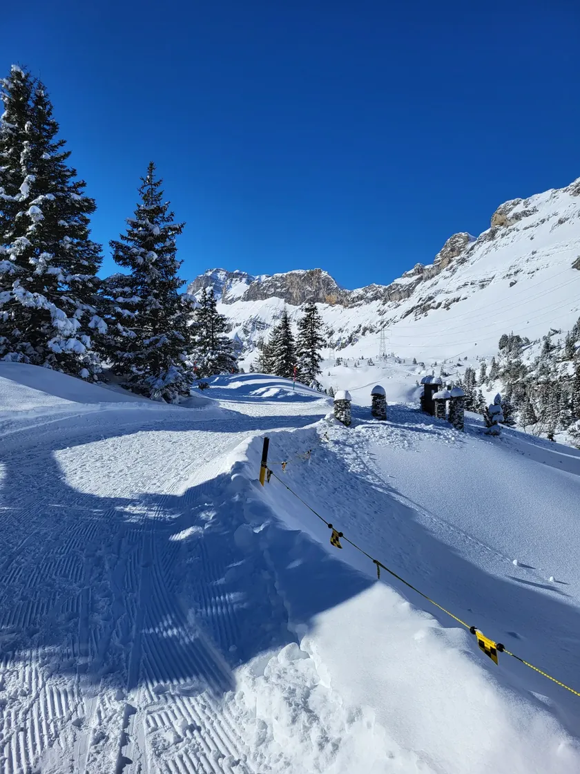 Mountain trail5.0(3)
From the Canton of Bern over the legendary Gemmipass into the Valais
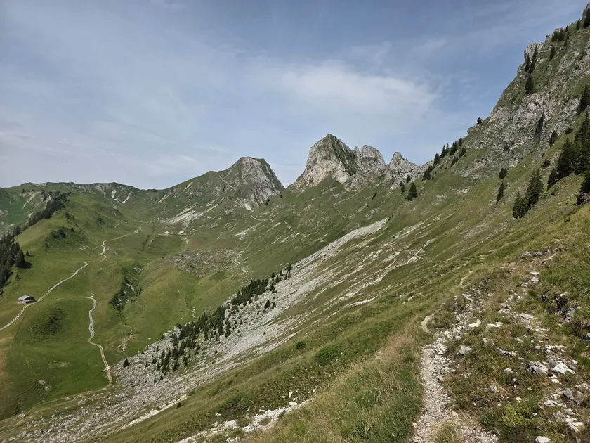 Mountain trail5.0(3)
Panoramaweg from Gurnigel to Stockhorn
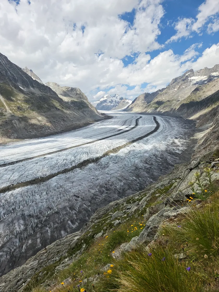 Mountain trail5.0(3)
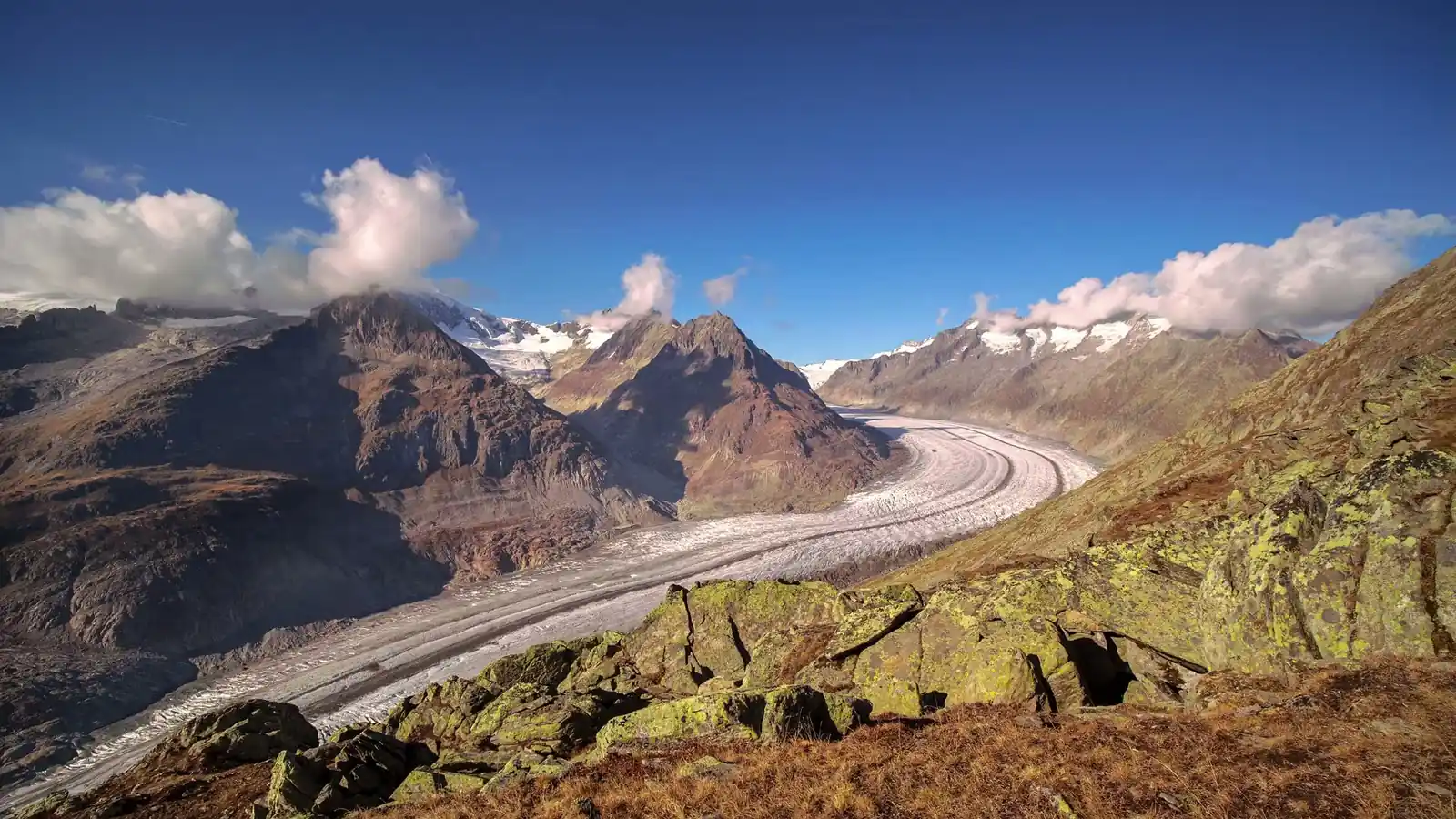
Along the ridge of the Grosse Aletschgletscher
 Mountain trail5.0(2)
%20--%3e%3c!DOCTYPE%20svg%20PUBLIC%20'-//W3C//DTD%20SVG%201.1//EN'%20'http://www.w3.org/Graphics/SVG/1.1/DTD/svg11.dtd'%3e%3csvg%20version='1.1'%20id='Ebene_1'%20xmlns='http://www.w3.org/2000/svg'%20xmlns:xlink='http://www.w3.org/1999/xlink'%20x='0px'%20y='0px'%20width='406.469px'%20height='492.748px'%20viewBox='0%200%20406.469%20492.748'%20enable-background='new%200%200%20406.469%20492.748'%20xml:space='preserve'%3e%3cg%3e%3cg%3e%3cg%3e%3cg%3e%3cg%3e%3cpath%20fill='%23FFFFFF'%20d='M203.086,1.565h201.839v296.668c0,106.594-90.281,193.047-201.703,193.047%20c-111.406,0-201.711-86.453-201.711-193.047V1.565H203.086z'/%3e%3c/g%3e%3c/g%3e%3c/g%3e%3c/g%3e%3cg%3e%3cg%3e%3cg%3e%3cg%3e%3cpath%20fill='%23E8423F'%20d='M274.115,1.748v477.259c76.164-27.384,130.414-97.538,130.805-179.905V1.746L274.115,1.748%20L274.115,1.748z'/%3e%3c/g%3e%3c/g%3e%3c/g%3e%3c/g%3e%3cg%3e%3cg%3e%3cg%3e%3cg%3e%3cpath%20fill='%2316A74E'%20d='M1.52,1.756v296.477c0,85.461,58.031,157.922,138.43,183.313V1.757L1.52,1.756L1.52,1.756z'/%3e%3c/g%3e%3c/g%3e%3c/g%3e%3c/g%3e%3cg%3e%3cg%3e%3cg%3e%3cg%3e%3cpolygon%20fill='%23FFFFFF'%20points='393.559,59.955%20346.365,59.955%20346.365,12.526%20332.332,12.526%20332.332,59.955%20285.99,59.955%20285.99,73.998%20332.332,73.998%20332.332,119.877%20346.365,119.877%20346.365,73.998%20393.559,73.998%20'/%3e%3c/g%3e%3c/g%3e%3c/g%3e%3c/g%3e%3cg%3e%3cg%3e%3cg%3e%3cg%3e%3cg%3e%3cg%3e%3cg%3e%3cg%3e%3cg%3e%3cg%3e%3cdefs%3e%3crect%20id='SVGID_1_'%20y='0.014'%20width='406.457'%20height='492.734'/%3e%3c/defs%3e%3cclipPath%20id='SVGID_2_'%3e%3cuse%20xlink:href='%23SVGID_1_'%20overflow='visible'/%3e%3c/clipPath%3e%3cpath%20clip-path='url(%23SVGID_2_)'%20fill='none'%20stroke='%23010202'%20stroke-width='3.048'%20d='M203.086,1.533h201.839v296.668%20c0,106.609-90.281,193.031-201.703,193.031c-111.406,0-201.711-86.422-201.711-193.031V1.533H203.086z'/%3e%3c/g%3e%3c/g%3e%3c/g%3e%3c/g%3e%3c/g%3e%3c/g%3e%3c/g%3e%3c/g%3e%3c/g%3e%3c/g%3e%3c/g%3e%3c/svg%3e "Neuchâtel")

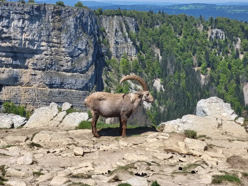
Circular hike from Noiraigue to the Creux du Van
 Mountain trail5.0(2)
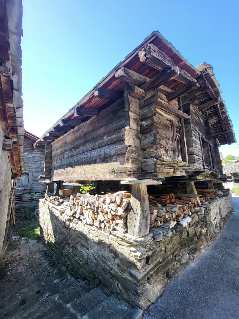
From Ausserberg to Hohtenn along the Lötschberg-Südrampe
 Mountain trail5.0(2)
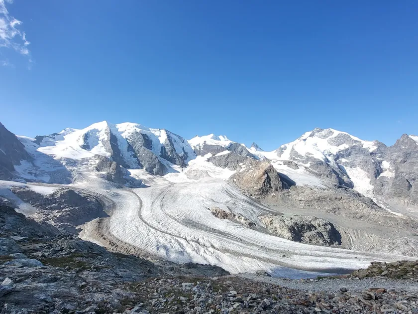
From Diavolezza up to Munt Pers
Every hike is classified according to official signage – so you know exactly what to expect.

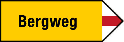
SAC T1
Yellow waymarks. Wide, easy paths without exposure.
SAC T2–T3
White-red-white waymarks. Partly steep and narrow, sure-footedness required.

SAC T4–T6
White-blue-white waymarks. Demanding, alpine experience required.
This week's most-liked image from the OhMyAlps! community.
Filter by region, difficulty, duration, distance, elevation gain and popularity.
Describe your favourite hike, set start and end points on the map and upload photos.
Share your experience with stars and comments – helpful for everyone.
Create a free account in a few minutes and publish your first hike.
Join now