The best apps for hiking
Your phone doesn't replace planning – it makes it easier. This selection covers the four things that matter on the trail: knowing where you are, what the weather does, how to get home and how to call for help.
5 min read
In short
One offline map app, one weather app, the public transport app and the Rega app cover almost every hike. The key is downloading maps before you set off.
The best apps for hiking
swisstopo
Maps and navigation
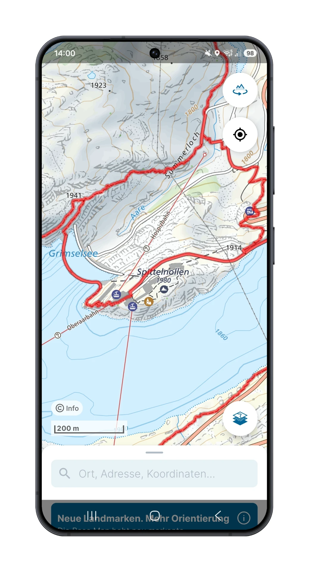
The official national maps with every waymarked trail, contour lines and aerial imagery. Ideal for judging terrain and escape options.
Map sections can be saved offline. Your own GPX files can be imported.
MeteoSwiss
Weather
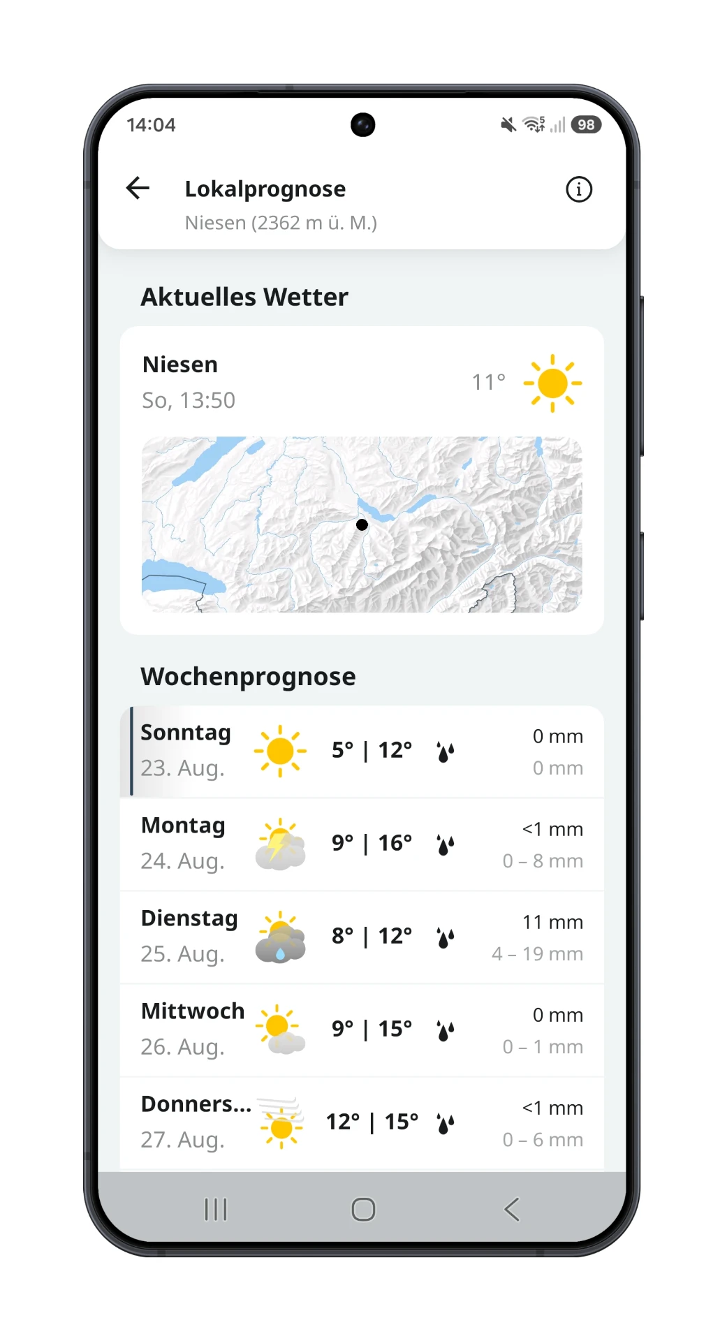
The federal weather office app with point forecasts, rain radar and thunderstorm or severe weather warnings anywhere in Switzerland.
Check the rain radar before you leave – afternoon thunderstorms are the most common reason to turn back in summer.
SBB Mobile
Getting there and back
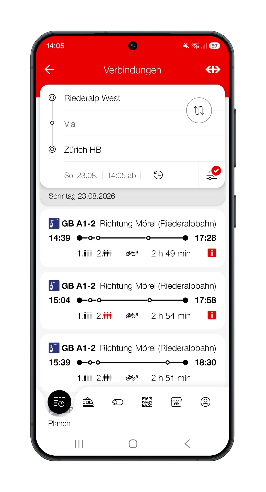
Timetables and tickets for train, bus, boat and many mountain railways. Handy for point-to-point hikes.
Note the last connection or take a screenshot – down in the valley that helps more than any map.
Rega
Safety and emergency
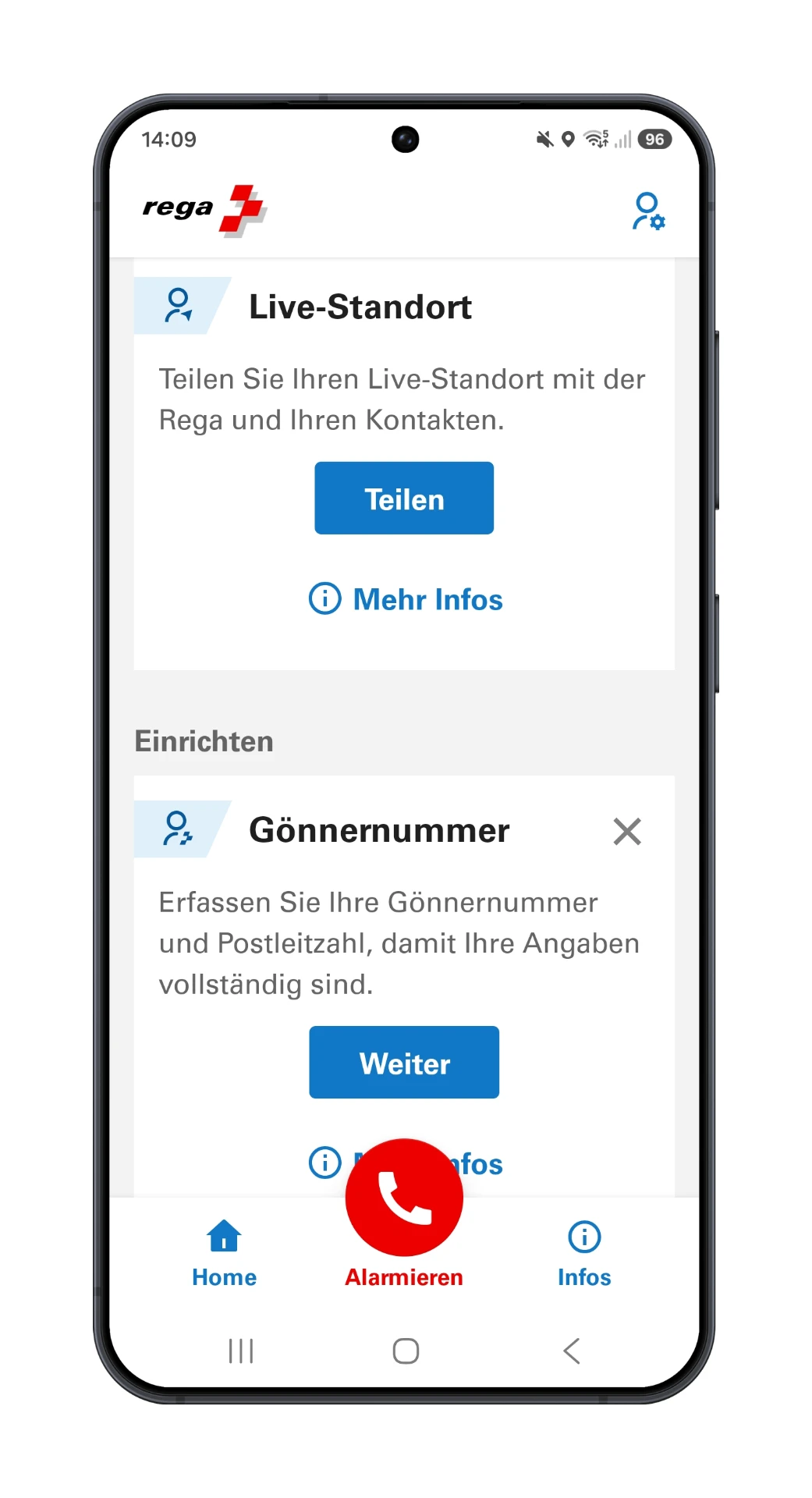
The emergency app of Switzerland's air rescue service: one alarm sends your coordinates straight to the control centre.
Install and set it up before the hike – there's no time for that in an emergency. Otherwise call 1414 or 144.
In practice: making your phone actually useful
Download maps before you start
There is often no signal in the mountains. Download the area at home over Wi-Fi and check in flight mode that the map really loads.
Save battery
Flight mode with GPS on, screen dimmed, phone close to your body in the cold. A small power bank weighs less than a ruined afternoon.
Take the GPX track along
On OhMyAlps! you can download every hike's route as a GPX file and open it in your map app. That way you always see whether you are still on the planned route.
A plan B without power
Know the route roughly, carry a paper map or screenshot, agree on a turnaround time. The phone is a tool, not a life insurance.
This selection is based on our own experience and is not sponsored. Features and prices can change – check the respective app store.