Randonnées
12 itinéraires trouvé(s)
 Chemin de montagne5.0(2)
Suisse centrale
'%20xmlns:inkscape='http://www.inkscape.org/namespaces/inkscape'%20xmlns:sodipodi='http://sodipodi.sourceforge.net/DTD/sodipodi-0.dtd'%20xmlns:xlink='http://www.w3.org/1999/xlink'%20xmlns='http://www.w3.org/2000/svg'%20xmlns:svg='http://www.w3.org/2000/svg'%3e%3cdefs%20id='defs64'%20/%3e%3csodipodi:namedview%20id='namedview62'%20pagecolor='%23ffffff'%20bordercolor='%23000000'%20borderopacity='0.25'%20inkscape:showpageshadow='2'%20inkscape:pageopacity='0.0'%20inkscape:pagecheckerboard='0'%20inkscape:deskcolor='%23d1d1d1'%20showgrid='false'%20inkscape:zoom='0.45737896'%20inkscape:cx='83.08209'%20inkscape:cy='157.4187'%20inkscape:window-width='1920'%20inkscape:window-height='1017'%20inkscape:window-x='-8'%20inkscape:window-y='-8'%20inkscape:window-maximized='1'%20inkscape:current-layer='svg60'%20/%3e%3cg%20id='g5781'%3e%3cpath%20d='m%202,3%20v%20377%20a%20263,263%200%200%200%20526,0%20V%203%20Z'%20fill='%23ffffff'%20id='path34'%20style='stroke:%23000000;stroke-width:3.6'%20/%3e%3cpath%20d='M%20528,2%20H%202%20v%20306%20h%20526%20z'%20id='path36'%20style='fill:%23e7423f;stroke:%23000000;stroke-width:3.6;fill-opacity:1'%20/%3e%3cpath%20d='M%20286,324%20V%2018%20H%20244%20V%20324%20M%20244,39%20H%20194%20V%2063.3%20H%20178%20V%2039%20h%20-62%20v%2042%20h%2045%20v%2018%20h%20-45%20v%2042%20h%2062%20v%20-24%20h%2016%20v%2024%20h%2024%20v%2017%20h%20-24%20v%2024%20h%20-16%20v%20-24%20h%20-62%20v%2042%20h%2045%20v%2018%20h%20-45%20v%2042%20h%2062%20v%20-24%20h%2016%20v%2024%20h%2050'%20fill='%23ffffff'%20id='path38'%20style='stroke:%23000000;stroke-width:3.6'%20/%3e%3cuse%20xlink:href='%23b'%20transform='matrix(-1,0,0,1,530,0)'%20id='use40'%20style='fill:%23dd3322;stroke:%23000000;stroke-width:3.6'%20/%3e%3cg%20id='b'%20style='fill:%23e7423f;stroke:%23000000;stroke-width:3.6;fill-opacity:1'%3e%3cpath%20id='a'%20d='m%20395,422%20c%2018,31%2011,62%20-14,76%20-25,14%20-36,1%20-35,-22%20-16,17%20-5,43%2011,47%2012,3%2031,-1%2044,-8%2036,-20%2048,-72%2024,-111'%20style='fill:%23e7423f;fill-opacity:1'%20/%3e%3cpath%20d='m%20264,343%20h%2034%20c%204,0%206,-4%206,-7%20v%20-21%20c%200,-3%20-2,-7%20-6,-7%20h%20-34%20m%200,318%20c%2037,0%2067,-17%2081,-46%2011,-22%207,-42%201,-58%20-11,-29%20-51,-23%20-55,1%2015,-10%2033,-11%2036,11%204,36%20-22,57%20-63,57%20m%201,-248%20h%2027%20c%209,0%2021,7%2017,21%20l%20-15,51%20h%20-29'%20id='path43'%20style='fill:%23e7423f;fill-opacity:1'%20/%3e%3cuse%20xlink:href='%23a'%20transform='matrix(0.472,-0.882,-0.882,-0.472,581,970)'%20id='use45'%20style='fill:%23e7423f;fill-opacity:1'%20/%3e%3cpath%20d='m%20264,334%20h%2040%20c%2012,0%2011,-17%200,-17%20h%20-40'%20id='path47'%20style='fill:%23e7423f;fill-opacity:1'%20/%3e%3ccircle%20cy='483'%20cx='320'%20r='18.200001'%20id='circle49'%20style='fill:%23e7423f;fill-opacity:1'%20/%3e%3ccircle%20cy='543'%20cx='370'%20r='18.200001'%20id='circle51'%20style='fill:%23e7423f;fill-opacity:1'%20/%3e%3c/g%3e%3cellipse%20cy='371'%20cx='265'%20rx='21'%20ry='28'%20id='ellipse54'%20style='fill:%23e7423f;stroke:%23000000;stroke-width:3.6;fill-opacity:1'%20/%3e%3ccircle%20cy='426'%20cx='265'%20r='24.700001'%20id='circle56'%20style='fill:%23e7423f;stroke:%23000000;stroke-width:3.6;fill-opacity:1'%20/%3e%3c/g%3e%3c/svg%3e "Obwald")
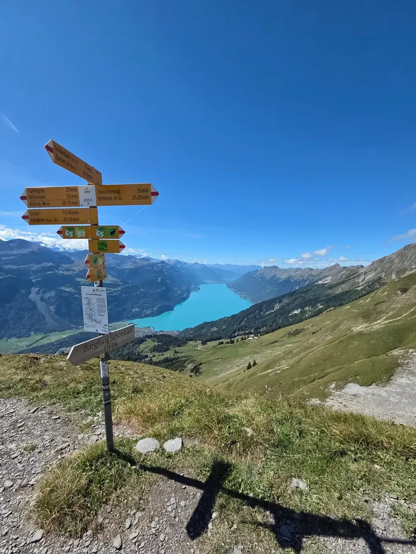
Du Brienzer Rothorn au Brünigpass
Randonnée de crête du Brienzer Rothorn au Brünigpass
PanoramiqueLacPhotogénique
4 h 50 min 14,2 km 420 m dén.Condition 4/5
 Chemin de montagne5.0(2)
Suisse centrale%20--%3e%3c!DOCTYPE%20svg%20PUBLIC%20'-//W3C//DTD%20SVG%201.1//EN'%20'http://www.w3.org/Graphics/SVG/1.1/DTD/svg11.dtd'%3e%3csvg%20version='1.1'%20id='Ebene_1'%20xmlns='http://www.w3.org/2000/svg'%20xmlns:xlink='http://www.w3.org/1999/xlink'%20x='0px'%20y='0px'%20width='406.504px'%20height='492.75px'%20viewBox='-176.134%20-213.811%20406.504%20492.75'%20enable-background='new%20-176.134%20-213.811%20406.504%20492.75'%20xml:space='preserve'%3e%3cg%3e%3cpath%20fill='%23FFFFFF'%20d='M26.963-212.292h201.875V84.376c0,106.609-90.328,193.031-201.73,193.031%20c-111.395,0-201.715-86.422-201.715-193.031v-296.668H26.963z'/%3e%3cpath%20fill='%23248BCC'%20d='M27.116,277.408L27.116,277.408c-111.395,0-201.715-86.422-201.715-193.031v-296.668H26.963L27.116,277.408%20z'/%3e%3cg%3e%3cg%3e%3cg%3e%3cg%3e%3cdefs%3e%3crect%20id='SVGID_1_'%20x='-176.134'%20y='-213.811'%20width='406.504'%20height='492.75'/%3e%3c/defs%3e%3cclipPath%20id='SVGID_2_'%3e%3cuse%20xlink:href='%23SVGID_1_'%20overflow='visible'/%3e%3c/clipPath%3e%3cpath%20clip-path='url(%23SVGID_2_)'%20fill='none'%20stroke='%23000000'%20stroke-width='3.048'%20d='M26.963-212.292h201.875V84.376%20c0,106.609-90.328,193.031-201.73,193.031c-111.395,0-201.715-86.422-201.715-193.031v-296.668H26.963z'/%3e%3c/g%3e%3c/g%3e%3c/g%3e%3c/g%3e%3c/g%3e%3c/svg%3e "Lucerne")
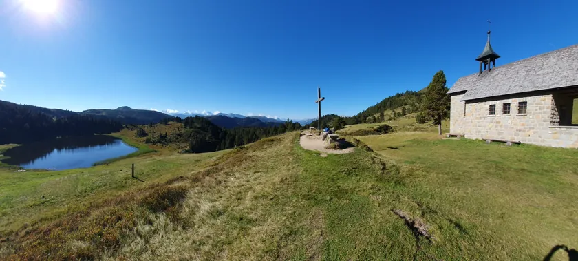
Stäldeli - Sewenseeli - Fürstein - Stäldeli
Randonnée en boucle de Stäldeli via le Sewenseeli jusqu'au Fürstein
Randonnée au sommetBoucleHalte gourmande
4 h 20 min 12,4 km 758 m dén.Condition 4/5
 Chemin de montagne5.0(2)
Grisons
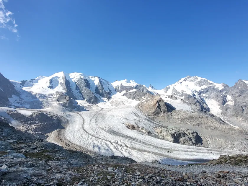
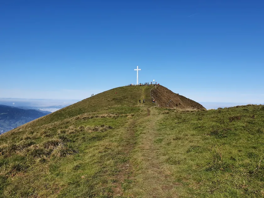
Diavolezza - Munt Pers
De la Diavolezza au Munt Pers
Randonnée au sommetPanoramiquePhotogénique
1 h 35 min 3,9 km 308 m dén.Condition 2/5
 Chemin de montagne5.0(1)
Suisse centrale
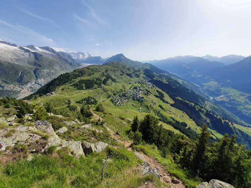
Randonnée au sommet du Buochserhorn
Belle randonnée au sommet de la montagne locale de Buochs
Randonnée au sommetPanoramiqueSentier fleuri
3 h 50 min 6,4 km 1 014 m dén.Condition 3/5
 Chemin de montagne5.0(1)
Valais
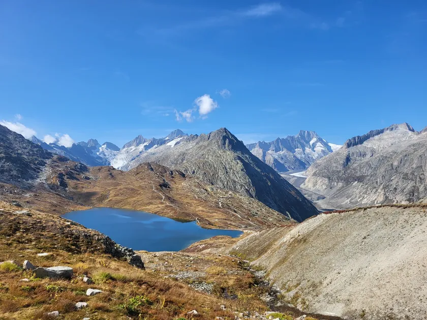
Riederalp - Riederhorn - Riederalp
Riederalp - Riederhorn - Riederalp
Randonnée au sommetPanoramiqueBoucle
2 h 30 min 7,5 km 386 m dén.Condition 2/5
 Chemin de montagne5.0(1)
Oberland bernois
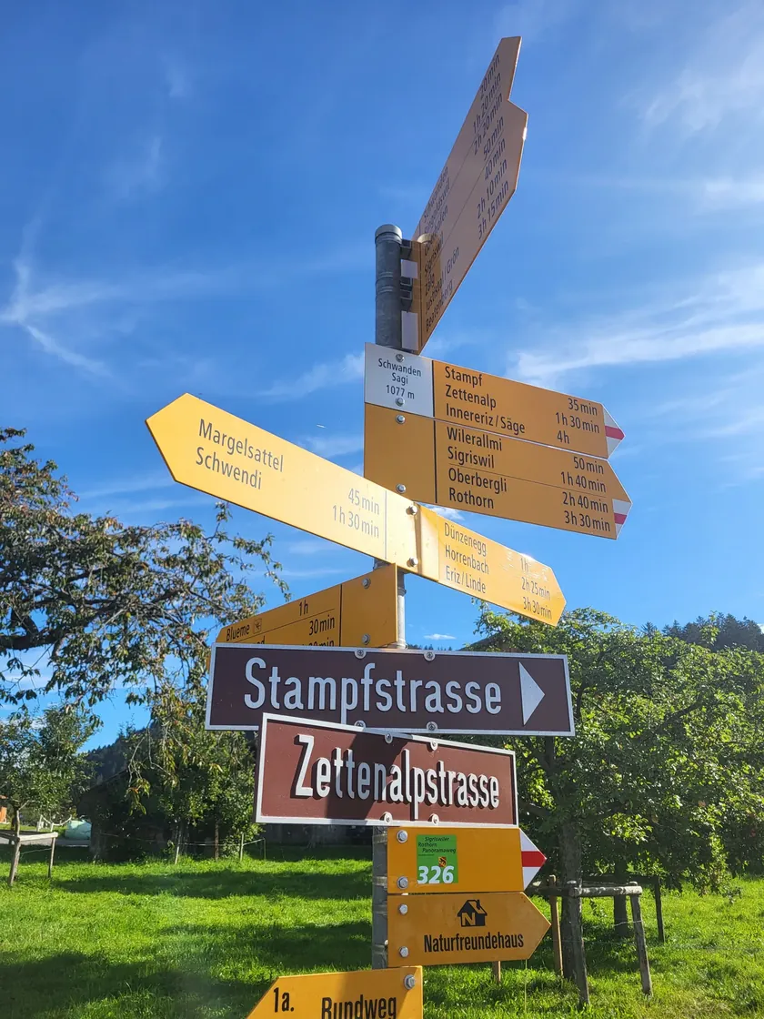
Grimselpass - Sidelhorn - Grimselpass
Grimselpass - Sidelhorn - Grimselpass
PanoramiqueRandonnée au sommetPhotogénique
3 h 25 min 7,6 km 707 m dén.Condition 3/5
 Chemin de montagne5.0(1)
Oberland bernois
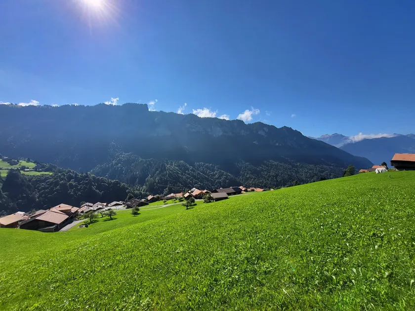
Schwanden - Sigriswiler Rothorn - Schwanden
Schwanden - Sigriswiler Rothorn - Schwanden
Randonnée au sommetPanoramiqueBoucle
4 h 45 min 11,4 km 1 388 m dén.Condition 5/5
 Chemin de montagne5.0(1)
Oberland bernois
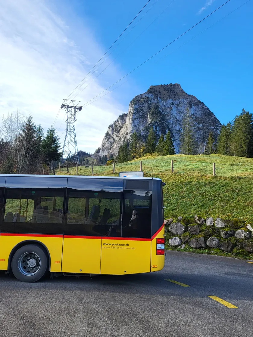
Habkern - Gemmenalphorn - Niederhorn
De Habkern au Niederhorn via le Gemmenalphorn
Randonnée au sommetPanoramiqueHalte gourmande
4 h 25 min 9,8 km 1 153 m dén.Condition 4/5
 Chemin de montagne5.0(1)
Suisse centrale%20--%3e%3csvg%20version='1.1'%20id='Ebene_1'%20x='0px'%20y='0px'%20width='406.523px'%20height='492.832px'%20viewBox='-176.119%20-213.831%20406.523%20492.832'%20enable-background='new%20-176.119%20-213.831%20406.523%20492.832'%20xml:space='preserve'%20sodipodi:docname='Wappen_Schwyz_matt.svg'%20inkscape:version='1.1.2%20(0a00cf5339,%202022-02-04)'%20xmlns:inkscape='http://www.inkscape.org/namespaces/inkscape'%20xmlns:sodipodi='http://sodipodi.sourceforge.net/DTD/sodipodi-0.dtd'%20xmlns:xlink='http://www.w3.org/1999/xlink'%20xmlns='http://www.w3.org/2000/svg'%20xmlns:svg='http://www.w3.org/2000/svg'%3e%3cdefs%20id='defs27'%3e%3c/defs%3e%3csodipodi:namedview%20id='namedview25'%20pagecolor='%23ffffff'%20bordercolor='%23666666'%20borderopacity='1.0'%20inkscape:pageshadow='2'%20inkscape:pageopacity='0.0'%20inkscape:pagecheckerboard='0'%20showgrid='false'%20inkscape:zoom='1.5867476'%20inkscape:cx='203.24593'%20inkscape:cy='236.01737'%20inkscape:window-width='1920'%20inkscape:window-height='1016'%20inkscape:window-x='0'%20inkscape:window-y='0'%20inkscape:window-maximized='1'%20inkscape:current-layer='Ebene_1'%20/%3e%3cpath%20fill='%23e7423f'%20d='M%2027.018,-212.311%20H%20228.889%20V%2084.392%20c%200,106.633%20-90.328,193.07%20-201.742,193.07%20-111.426,0%20-201.746,-86.438%20-201.746,-193.07%20v%20-296.703%20z'%20id='path2'%20/%3e%3cpolygon%20fill='%23ffffff'%20points='151.092,-197.553%20132.014,-197.553%20132.014,-139.518%2073.577,-139.518%2073.577,-120.217%20132.014,-120.217%20132.014,-61.92%20151.092,-61.92%20151.092,-120.217%20209.686,-120.217%20209.686,-139.518%20151.092,-139.518%20'%20id='polygon4-0'%20transform='matrix(0.98,0,0,0.98,3.75358,0.59692)'%20/%3e%3cg%20id='g20'%3e%3cg%20id='g18'%3e%3cg%20id='g16'%3e%3cg%20id='g14'%3e%3cdefs%20id='defs7'%3e%3crect%20id='SVGID_1_'%20x='-176.119'%20y='-213.83099'%20width='406.52301'%20height='492.832'%20/%3e%3c/defs%3e%3cclipPath%20id='SVGID_2_'%3e%3cuse%20xlink:href='%23SVGID_1_'%20overflow='visible'%20id='use9'%20x='0'%20y='0'%20width='100%25'%20height='100%25'%20/%3e%3c/clipPath%3e%3cpath%20clip-path='url(%23SVGID_2_)'%20fill='none'%20stroke='%23000000'%20stroke-width='3.048'%20d='M%2027.018,-212.311%20H%20228.889%20V%2084.392%20c%200,106.633%20-90.328,193.07%20-201.742,193.07%20-111.426,0%20-201.746,-86.438%20-201.746,-193.07%20v%20-296.703%20z'%20id='path12'%20/%3e%3c/g%3e%3c/g%3e%3c/g%3e%3c/g%3e%3c/svg%3e "Schwytz")
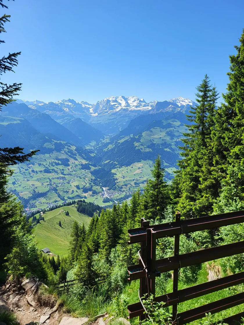
Brunni - Grosser Mythen - Brunni
Brunni - Grosser Mythen - Brunni
Randonnée au sommetPanoramiqueClassique
3 h 40 min 7,5 km 792 m dén.Condition 3/5
 Chemin de montagne5.0(1)
Oberland bernois
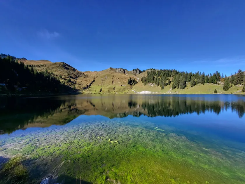
Niesen depuis la station intermédiaire de Schwandegg
Niesen depuis la station intermédiaire de Schwandegg
Randonnée au sommetPanoramiquePhotogénique
2 h 2,9 km 669 m dén.Condition 2/5
 Chemin de montagne5.0(1)
Oberland bernois
Le long des lacs jusqu'au Stockhorn
Depuis la station intermédiaire de Chrindi, via le Hinderstockesee et l'Oberstockesee jusqu'au Stockhorn.
Randonnée au sommetPanoramiquePhotogénique
2 h 20 min 5,2 km 624 m dén.Condition 2/5
 Chemin de montagne4.0(1)
Suisse centrale
Fruttli - Rigi Kulm
Fruttli - Rigi Kulm
Randonnée au sommetPanoramiqueClassique
2 h 5 min 5,0 km 642 m dén.Condition 2/5